Overview
Many of our customers provide essential services to New Zealanders, from broadband internet to power and gas.
By bringing together our market-leading property and location data, CoreLogic’s solutions are designed to help telecommunications & utilities organisations manage their assets, plan out infrastructure projects and maintenance work, and continue to provide the best possible service to kiwis.
Geo-coded and validated - helping to offer the most accurate representation of an address location
Reviewed and verified weekly by our dedicated team of geospatial experts
Manually captured from new developments and subdivisions every week
Access fit-for-purpose property and spatial data
Having access to powerful location data is vital to organisations who deliver essential services to New Zealanders.
The strength of our market-leading spatial data lies in its quality and comprehensiveness. This is achieved through having both a broader range of data inputs, including network data that is sourced from the major telecommunications providers, and through human validation by a dedicated Data Maintenance team to help support data integrity and location accuracy.
Our data is GIS-ready, with a breadth and rigour designed to make it suitable for organisations where it’s critical to get services, people and infrastructure to the right locations.
Our local GIS experts are passionate about data accuracy - helping you to get services, people and infrastructure to the right location.
Our data deliveries are available in multiple file formats, including web mapping and feature access, API or via enterprise-grade data sharing platforms such as Snowflake.
Data is available in a range of spatial formats, designed to make it easy to ingest into your internal systems.
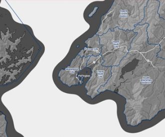
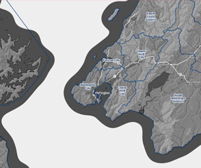
Helping you understand the wider environment including rail infrastructure, hydrographic features, administration boundaries and more.
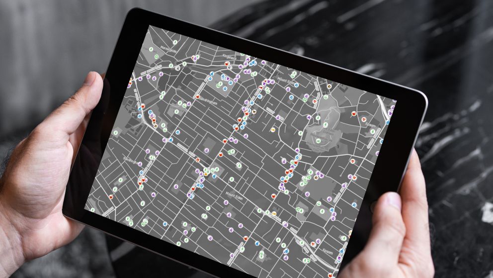
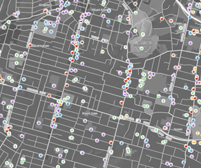
Over 130 points of interest types available, including schools, parks, hospitals, retirement villages and transport hubs across the country.
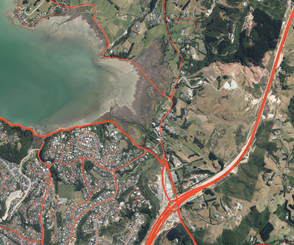
View details such as traffic flows, structures, intersections and turn restrictions, and routes. Daily updates, including new roads captured directly from subdivision plans.

Our team are experienced in a range of GIS technologies and delivery mechanisms and are available as consultants to support your business.
Explore a sample of our leading geospatial data
The NZ MasterMap portal makes it easy to explore insights, assess the quality and see how CoreLogic location data can support smart decision-making.
Visit portal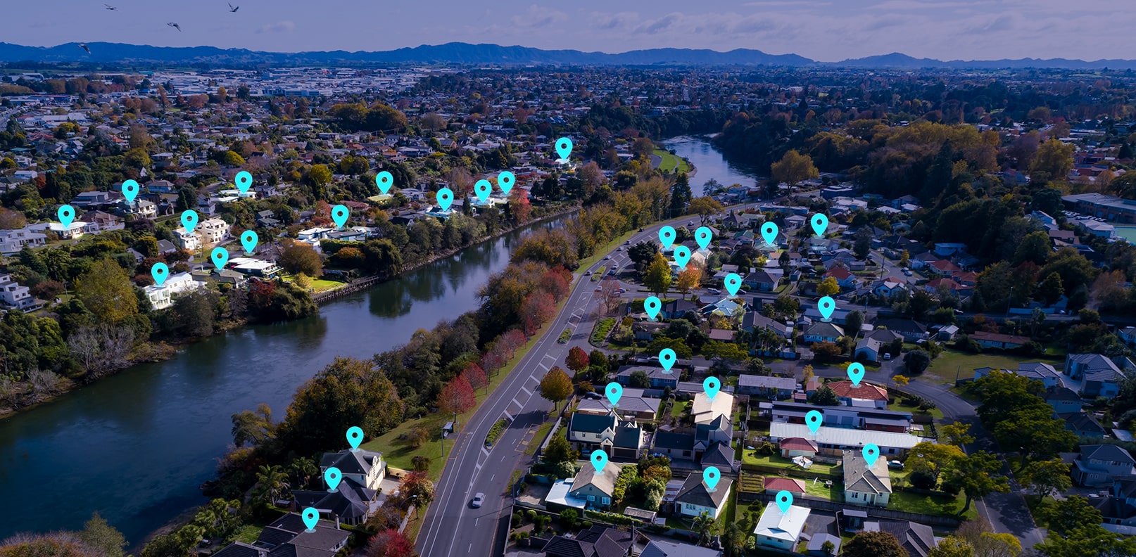
A range of datasets and mapping tools to help drive your business
Our solutions, which are powered by our market-leading NZ MasterMap data sets, can help you improve your business processes. Once integrated, our addressing and mapping APIs offer up-to-date, comprehensive spatial data. Data is also accessible via our online platforms, such as eMap, so you can quickly and easily research NZ property information.
Several of these data sets are available via our developer portal, offering quick and easy access when you need it.
With 2.4 million+ physical addresses and 100,000+ alias addresses, AddressRight is designed to provide certainty about the address, location and available services, helping you to minimise errors, reduce costs and provide a better customer experience.
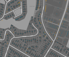
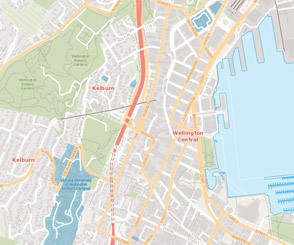
Our range of BaseMaps provide a detailed contextual backdrop for your web, mobile or GIS tools - perfect if you don’t have your own GIS system.
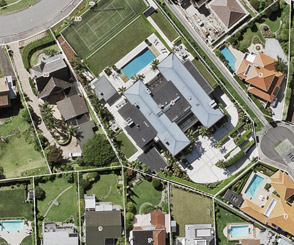
Our aerial imagery web service offers 100% national coverage, is updated regularly and includes proprietary CoreLogic imagery capturing key areas of change.
In addition, we also offer Nearmap’s high quality and up-to-date flown imagery, which covers 14 urban areas across the country. In conjunction with CoreLogic’s imagery web service, this represents the most comprehensive imagery offering in New Zealand.
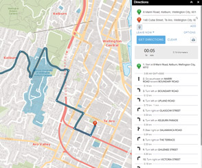
Our routing API service uses CoreLogic road and address data, designed to help ensure your team and services arrive at the right place, first time. Multiple routing types are available, including A to B to Z, service areas and closest facility.
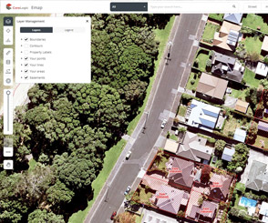
Give your team key information with eMap, our map-based property research platform. Featuring interactive maps and high-resolution imagery, combined with ownership information, title details and more, eMap can help you gain insights and uncover opportunities.


Engage customers with relevant offers and communications
Understanding your customers and the properties they live in can provide valuable insights intotheir potential consumption habits.
CoreLogic offers solutions that can help you identify key times to proactively engage with your customers about their changing service needs, and help you understand factors such as property attributes and location, so you can recommend the best possible services relevant to their situation.
Property Monitor helps you engage customers with tailored offers and support with their changing connection needs, by alerting you to property events such as sales and listings.
The AddressRight Plus Fibre Availability service is designed to let you know which properties are broadband ready, so you can offer the most appropriate service.
Floor area, building age, property value, pools and solar panels are all factors which can affect power consumption. Access this information to help you better assess customers’ needs and offer more targeted services.
Find out when your customers are likely to be renovating with Property Monitor , so you can discuss potential changes or upgrades to their gas, electricity or internet.
Access attribute data to understand a property’s size, construction materials, and number of bedrooms and levels – designed to help you promote suitable set ups for customers to support adequate wi-fi coverage.
Combine these solutions and datasets to support your lifecycle customer engagement and retention strategies.
Be better informed: data to help you with risk planning and mitigation
Our solutions can help the telecommunications and utilities industries identify and manage potential risks arising from natural hazards, proximity to infrastructure and other location-based factors.
Be better informed: data to help you with risk planning and mitigation
Our solutions can help the telecommunications and utilities industries identify and manage potential risks arising from natural hazards, proximity to infrastructure and other location-based factors.
NZ FloodMap can help you assess identified flood risk for infrastructure and buildings, and assist you with identifying customers who may be impacted by flooding.
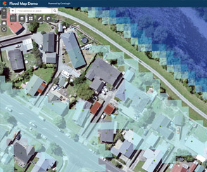
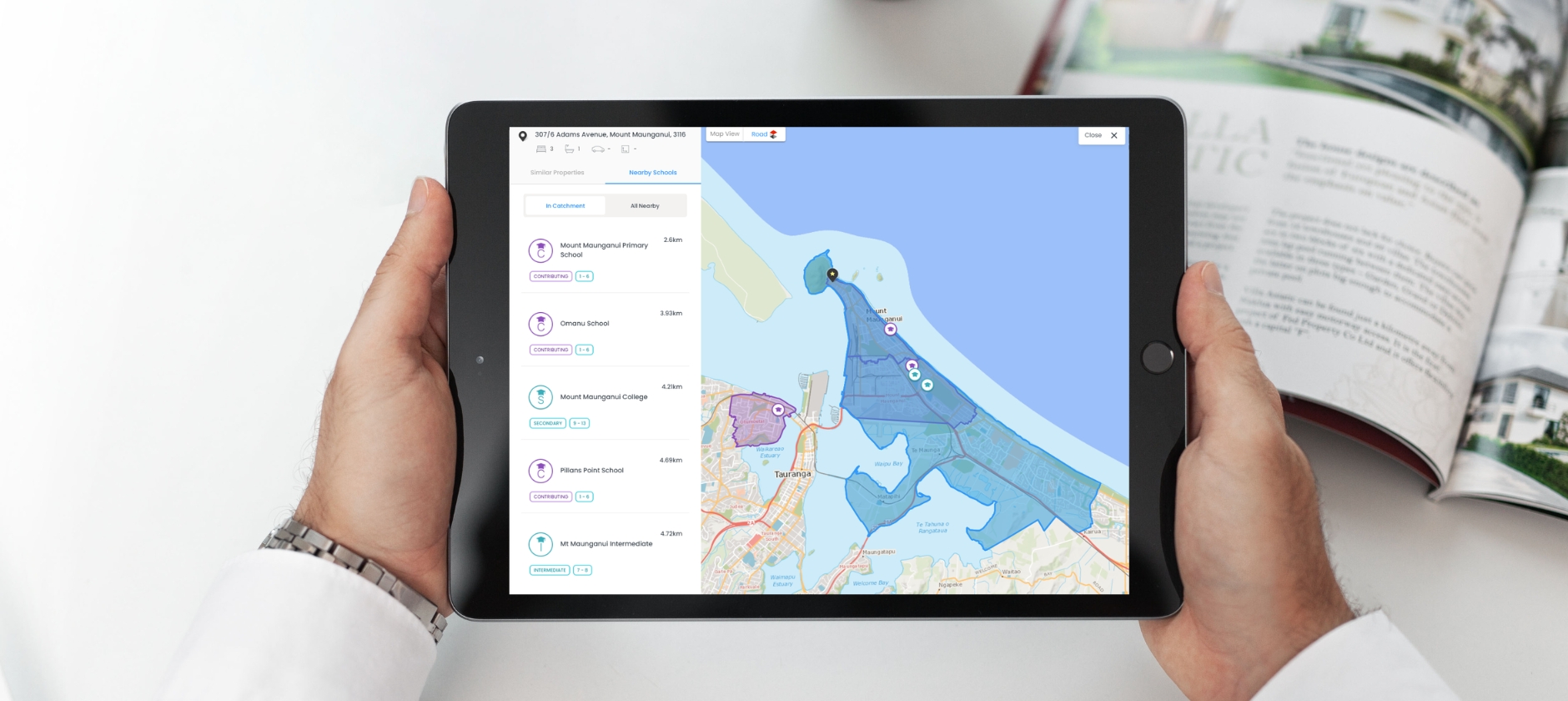
By using points of interest data , utility companies can better understand the proximity of infrastructure to locations such as shopping centres or schools, which can help inform development of risk management and mitigation plans.

Property Monitor lets you track when properties change hands - providing you with information to help you proactively reach out to occupants about risks, assets and access rights that may impact their land.


Latest news and research
More News & Research
Tariff uncertainty keeps OCR ‘downward bias’ in place
Chief Property Economist Kelvin Davidson unpacks the February cash rate decision and Monetary Policy Statement, and what it means for the housing market.
How can we help you?
Let's get this conversation started! Our team is here to provide you with more information, answer any questions you may have.
